Nestled within the heart of Jerusalem, the Archaeological Davidson Center stands as a gateway to the city’s storied past. Situated just south of the Western Wall, this captivating archaeological complex offers a fascinating journey through time, revealing the historical layers that have shaped Jerusalem into the revered city it is today. In this post, we delve into the allure of the Davidson Center, exploring its archaeological treasures, historical significance, and the immersive experiences it offers to visitors worldwide.
So the Davidson Center is a pivotal portal to uncovering the city’s captivating past, with archaeological excavations that unveil ancient structures and remnants dating back thousands of years. When touring the center, we’ll be unearthing Jerusalem’s Rich History: With its millennia-long history, Jerusalem holds a central place in the annals of human civilization.
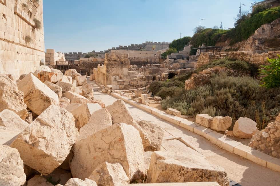
The Southern Wall Excavations
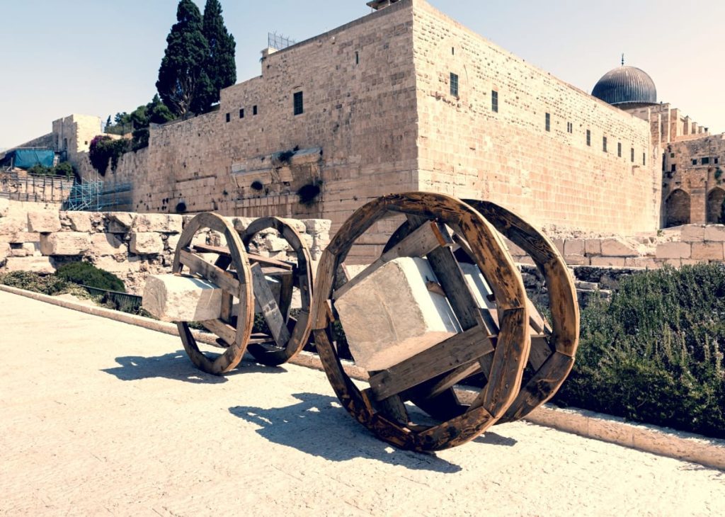
A highlight of the Davidson Center is the Southern Wall excavations, where visitors can traverse the ancient Herodian and Roman pathways that once led to the Second Temple. Furthermore, these well-preserved archaeological remains provide a unique glimpse into the life of ancient pilgrims and the grandeur of the temple complex.
Virtual Reconstruction:
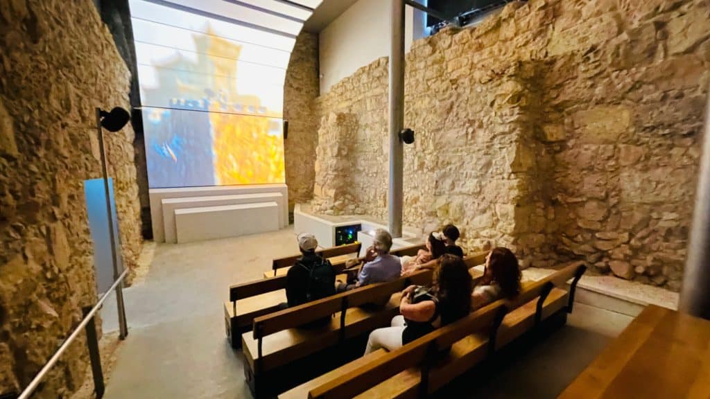
So, by utilizing cutting-edge technology, the Davidson Center offers virtual reconstructions that bring ancient Jerusalem to life. Moreover, through interactive exhibits and virtual reality experiences, visitors can immerse themselves in the sights and sounds of the temple and witness key historical events that shaped the city’s destiny.
Old City Jerusalem Tour

The Ophel Archaeological Garden:
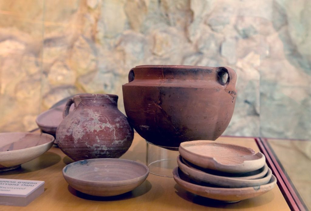
Adjacent to the Southern Wall excavations, the Ophel Archaeological Garden showcases a stunning collection of artifacts, including pottery, coins, and jewelry, providing a comprehensive understanding of daily life in ancient Jerusalem.
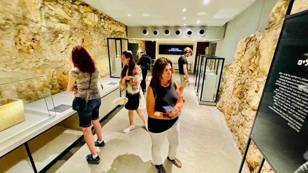
Davidson Center – A Holistic Experience
The Davidson Center offers more than just a traditional museum visit. It provides a holistic experience, blending historical exploration with educational programs, lectures, and guided tours led by expert archaeologists. These engagements deepen visitors’ understanding of the significance of Jerusalem’s archaeological treasures.
Spiritual Significance: The Davidson Center’s proximity to the Western Wall adds an extra layer of reverence for visitors seeking a spiritual connection. The center offers a place of contemplation where visitors can reflect on the historical and religious significance of Jerusalem, considered one of the holiest cities in the world.
Inspiring Appreciation for Heritage
The Davidson Center is vital in fostering an appreciation for cultural heritage and historical preservation. Its engaging exhibits and archaeological revelations encourage visitors to recognize the importance of safeguarding the world’s ancient treasures for future generations.
Conclusion:
The Archaeological Davidson Center in Jerusalem is a testament to the city’s enduring legacy as a cultural crossroads and a beacon of faith. From the Southern Wall excavations that unravel the secrets of the ancient temple complex to the Ophel Archaeological Garden that showcases daily life in ancient Jerusalem, the center offers a captivating journey through time. For visitors from diverse backgrounds, the
Last, Davidson Center is an inspiration source, fostering a deeper understanding of Jerusalem’s historical significance and the timeless appeal of its archaeological wonders. As we walk the pathways of ancient pilgrims and explore the remnants of lost civilizations, the Davidson Center reminds us of the value of preserving our shared human heritage and embracing past lessons to shape a more enlightened future.


