In the heart of Old Jerusalem lies a fascinating historical gem known as the Cardo. This ancient thoroughfare, once a bustling center of commerce and cultural exchange, offers a window into the city’s vibrant past. Join us as we stroll through the remnants of the Cardo and uncover the stories it has to tell.
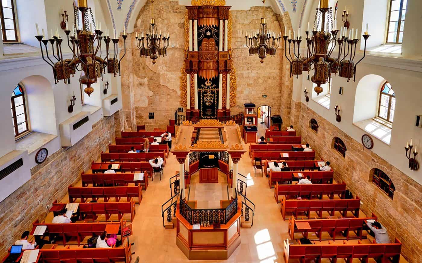
Jewish Quarter Tour
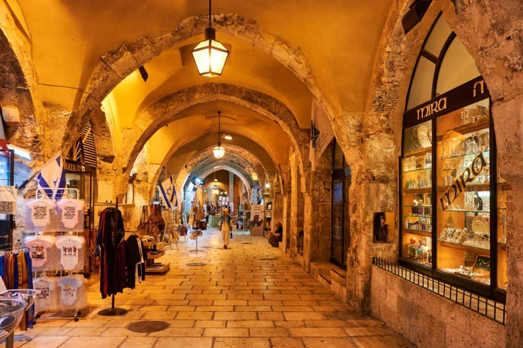
A Marketplace of Antiquity
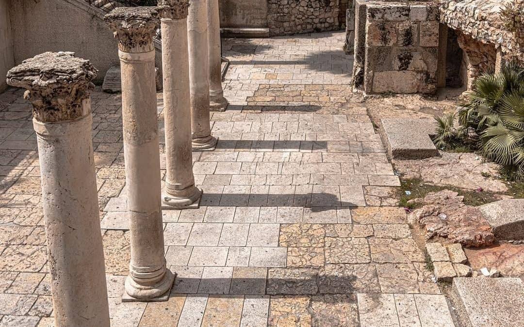
The Cardo was no ordinary street—it was the main thoroughfare of Roman and Byzantine Jerusalem. Lined with shops, stalls, and bustling activity, it served as the commercial lifeline of the city. Traders and merchants from various corners of the ancient world converged here, bringing goods, stories, and cultures that enriched the local tapestry.
What To Do in Jerusalem in 24 Hours
A Testament to Urban Planning
Originally designed by the Romans, the Cardo exemplifies their meticulous urban planning. It was a wide and grand colonnaded street featuring rows of columns on each side that supported covered walkways. These architectural elements not only provided shade and shelter but also contributed to the impressive aesthetics of the street.
Navigating the Cardo
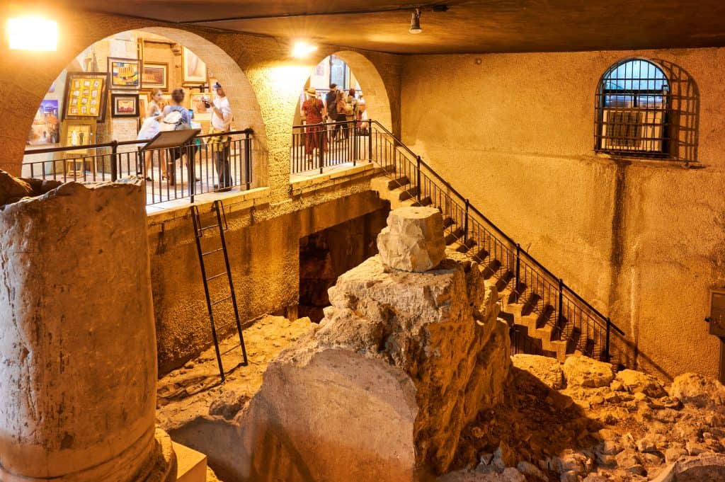
Walking along the Cardo today, you can still see remnants of its original layout. The paved stones, columns, and architectural fragments that have survived the ages offer glimpses into the past. As you follow the path, you can almost imagine the vibrant scenes of traders haggling, shoppers examining goods, and the echoes of countless conversations that once filled the air.
Jerusalem Ultimate Guide
A Journey through Time
The Cardo has witnessed the passage of centuries, surviving transitions from Roman to Byzantine rule and beyond. As you explore its remnants, you’re transported back to a time when Jerusalem was a bustling metropolis. The Cardo’s enduring presence is a reminder of the city’s resilience and its ability to adapt and evolve while preserving its historical roots.
Cultural Crossroads
The Cardo was more than a marketplace—a crossroads of cultures, languages, and traditions. The diversity of people traversed its path left their mark on its stones. From traders hawking goods from distant lands to locals going about their daily lives, the Cardo was a microcosm of Jerusalem’s rich and multifaceted identity.
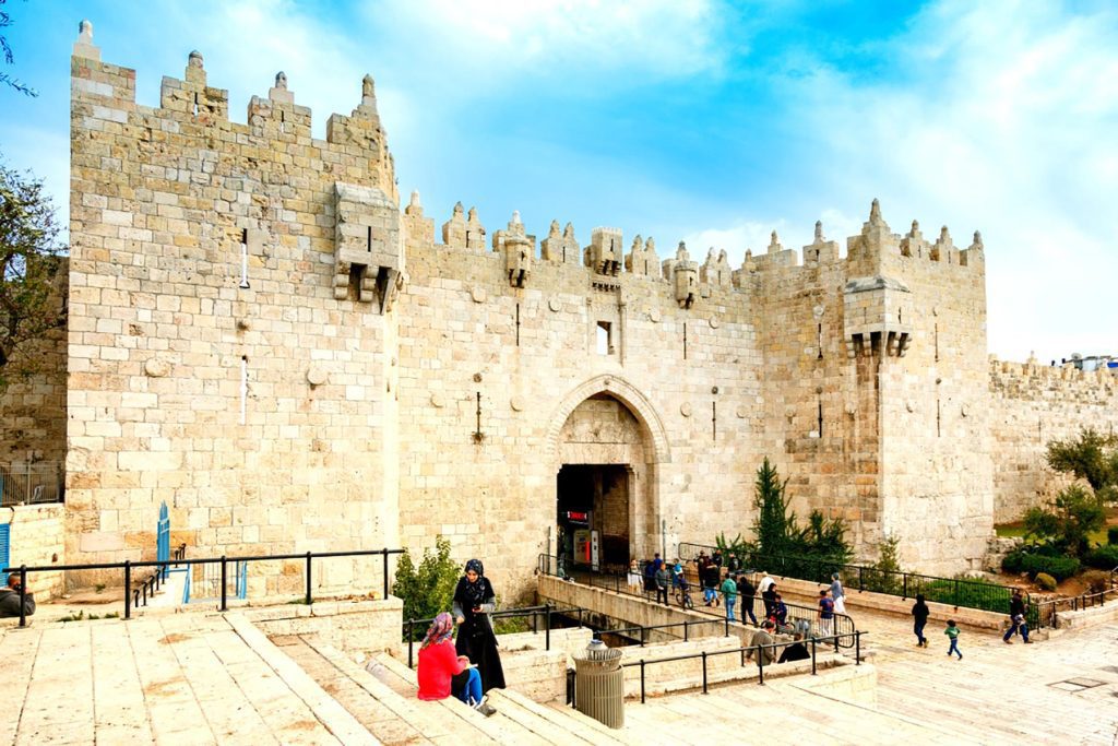
Damascus Gate
A Glimpse into Everyday Life
As you explore the Cardo, it’s not just the architecture that captures your attention—it’s the stories of ordinary people who once walked these same stones. The pottery fragments, inscriptions, and architectural details offer insights into the lives, beliefs, and aspirations of those who called Jerusalem home.
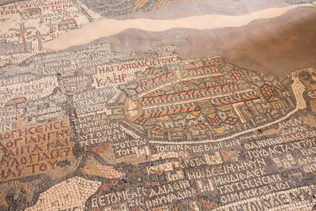
Israel Museum
Cardo in Old Jerusalem: Where Past and Present Meet
So the Cardo isn’t just a relic of the past; it’s a living connection to the history and heritage of Jerusalem. Amidst the modern city surrounding it, the Cardo is a silent witness to the ebb and flow of life, commerce, and culture. So, as you walk its path, you’re invited to imagine the sights and sounds of a bygone era and to appreciate the enduring spirit of a city that continues to thrive while honoring its roots.


