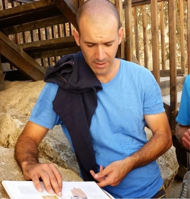
William Matthew Flinders Petrie is the First ‘‘Real’’ Biblical Archaeologist. Petrie was born in England in 1853, raised in a Christian household, and educated at home. He had no formal education. His father taught his son how to survey accurately, laying the foundation for his archaeological career. At the age of eight, he was tutored in French, Latin, and Greek until he had a collapse and was taught at home.
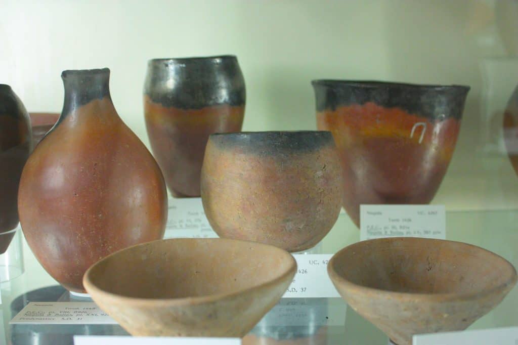
Credit: Stephencdickson, CC BY-SA 4.0, via Wikimedia Commons
He also ventured his first archaeological opinion aged eight. When friends visiting the Petrie family were describing the unearthing of the Brading Roman Villa on the Isle of Wight. The boy was horrified to hear the rough shoveling out of the contents; and protested that the earth should be pared away, inch by inch; to see all that was in it and how it lay. “All that I have done since,” he wrote in his late seventies, “was there, to begin with. So true it is that we can only develop what is born in mind. I was already in archaeology by nature.”
William Matthew Flinders Petrie: Archaeology career
Petrie initially honed his archaeological skills in Egypt. He was nearly forty years old when, in 1890, he was hired by the Palestine Exploration Fund. And began excavating at the site of Tell el-Hesi, located in what had once been the Southern Kingdom of Judah. But worth mentioning that he believed he was excavating ancient Lachish. He followed the erranurs identification of the Tell made by Claude Reignier Conder and Herbert Kitchener when they surveyed the Holy Land between 1874-1877.
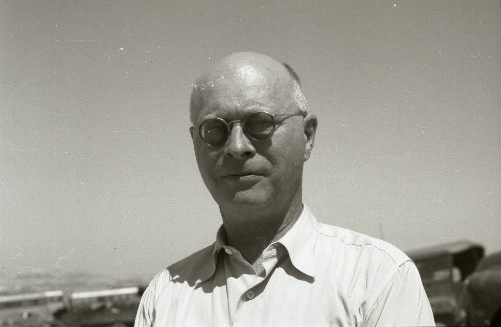
William Albright
Flinders Petrie Was the First to Use Stratigraphy
Petrie became the first person in Palestine to excavate according to the methodology of stratigraphy. A seemingly obvious yet profound concept originated in superposition’s geological principle. Unlike Edward Robinson, who preceded him, Petrie realized that when succeeding cities are built directly on top of one another. Then they eventually form a man-made mound, or better said, an ancient tell; the very tells that could be seen scattered across the landscape of the Holy Land.
Moreover, Petrie realized, within those tells, the lower, or deeper, cities will always be earlier than the later, or upper, cities. Thus, as Petrie excavated from the top of the mound down, he was proceeding back in time, revealing the history of the tell and the many iterations of the city that lay within it—sometimes uncovering thousands of years and numerous destructions and rebuildings.
From 1891, he worked on the temple of Aten at Tell-el-Amarna, discovering a 28 square meter New Kingdom-painted pavement of gardens, animals, and hunting scenes. This became a tourist attraction. But, as there was no direct access to the site, tourists wrecked neighboring fields on their way to it. This made local farmers deface the paintings, and it is only thanks to Petrie’s copies that their original appearance is known.
William Matthew Flinders Petrie: The Creator of Pottery Typology
Petrie also introduced the concepts of pottery typology and pottery seriation. He used the thousands of pieces of broken pottery he uncovered to determine the chronological date of the various levels. And of the different cities that lay one on top of another within the mound he was excavating. Petrie realized that pottery types go in and out of style, just as today’s fashions do. And can therefore be used to help date the various cities and stratigraphical levels within a single tell.
He extended this concept to cities and levels in other ancient mounds. Both nearby and farther away, reasoning that if similar types of pottery are found at different sites, the levels in which they are found at each site are likely to be contemporary. This point is significant for eras before coins, which were not invented until 700 BCE in ancient Lydia, Turkey.
The results of Petrie’s excavations at Tell el-Hesi were published in collaboration with his American partner at the site, Frederick J. Bliss, as a book titled A Mound of Many Cities (1894). Petrie’s methods and the publication of his discoveries revolutionized the young field of biblical archaeology and firmly established his reputation as one of the discipline’s founding fathers.
Flinders Petrie: The Discovery of the Merneptah Stele
Two years later, in February 1896, when excavating in Egypt within Pharoah Merneptah’s mortuary temple, located near the Valley of the Kings across the Nile River from the modern town of Luxor. Petrie discovered an inscription dating to the fifth year of the pharaoh’s reign (1207 BCE).
Published by Petrie the following year, the inscription now known as the Israel Stele is the earliest textual mention of Israel outside of the Bible. And is one of the most important discoveries ever made in biblical archaeology.
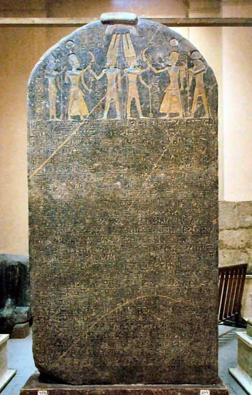
Credit: Webscribe, CC BY-SA 3.0, via Wikimedia Commons
Flinders Petrie: Continued Excavations in Palestine 1926-1938
In 1926, Petrie left Egypt and moved to work in Palestine. He did not return to Egypt, but excavated southern Israel and northern Sinai. Petrie chose sites in southern Palestine because of their proximity to Egypt. And Egypt’s control over these areas until the invasion of the Philistines in the 12th century BCE. Between 1926 and 1938, during the British Mandate, Peter excavated at four sites. By the time he was 73, he had continued to work until he was 85.
William Matthew Flinders Petrie: Tel Gamma
From 1926 to 1927, Petrie excavated at Tel Gamma. The excavation began in the winter of 1926. Thirty-six years separated Petrie’s first excavation in Israel from his second excavation. Petrie likely chose this mound because of his resemblance to Tel Hessi. The excavation report of the mound was the most detailed report to be published in the Petrie excavations in Israel.
You can learn from the report about his excavation methods, professional preferences, and systematic scientific approach. Petrie dug for six months on the western side of the mound. He assumed that this was the side facing the cool sea breeze. So that is where the important buildings will be found. This assumption was correct.
Petrie noticed six layers. The top layer was barns. Petrie’s excavation method and the way he attributed the material to layers were poor. As a result, a new excavation was required later. Tel Gemma was identified with the biblical Gerar, and Petrie accepted this identification. Benjamin Mazar later suggested identifying the site with “Irza” which appears in the Letters of El-Amarna. This identification is widely accepted today by most researchers.
William Matthew Flinders Petrie: Tel el-Farah
Between 1928 and 1930, Petrie excavated at Tel el-Farah. Petrie identified the site as “Beth Pelet” (Joshua, 15:25), according to an erroneous etymology of the Arab name of the mound. Albright suggested identifying the mound with the city of “Sharuhen” (Joshua, 19: 6); which was part of the inheritance of the Shimon tribe. This identification is now widely accepted by most researchers.
At the northern end of the mound, on top of the Hyksos levee, Petrie unveiled a magnificent building known as the “Governor’s House.” A building with a paved courtyard surrounded by rooms, including a stove. The building destroyed by fire dates to the Late Bronze Age II. Around the mound, Petrie uncovered eight burial fields with hundreds of graves. Some graves were found intact, with all the deceased’s belongings.
The tombs were found in the sandy plains around the mound. Petrie noticed the similarity of this sandy plain to the plains of Egyptian burial fields. So he brought his executives from Egypt. They hit the sand with heavy iron rods. And according to the sound of the blow, identified the place of the graves.
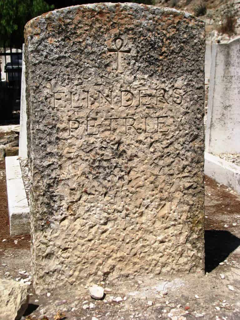
Credit: Hanay, CC BY 3.0, via Wikimedia Commons
William Matthew Flinders Petrie: Tell el-Ajjul
Between 1930–1934 and 1937–1938, Petrie excavated at Tell el-Ajjul, which is near Gaza. The excavation was conducted as part of Egypt’s British School of Archeology. Petrie came to the Tell for another excavation season following the murder (in the 1860s) of his student and friend James Leslie Starkey, who was his chief aide in the excavations at the Tell.
To the east and west of the mound, large cemeteries were discovered. Petrie and Starki were the first to identify a new and unknown culture. Petrie called it the “copper age” because of the multitude of copper weapons found on the site (now called the Middle Bronze Age). One of the most exciting phenomena that Petrie discovered was a burial of a donkey with their owners in tombs. Petrie identified the site as the Middle Bronze Age and the Late Bronze Age. This identification is not accepted today by archaeologists.
